The Cross Country Projects:
Cross Country I
Cross Country II
Beginning May 2004, ending November 2005
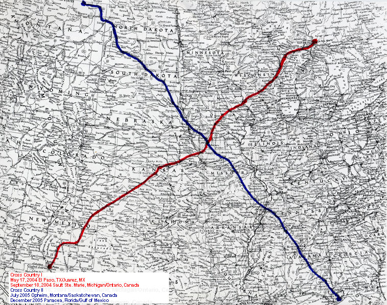
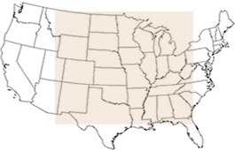
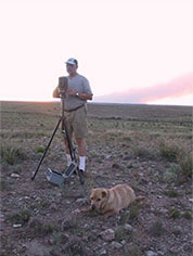
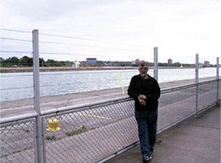
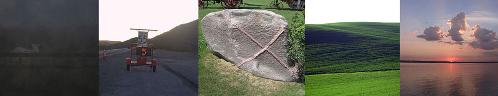
The concept of this walk began simply enough, really, just as a visual pun on the phrase - "cross country". It evolved into a project that took more than nine months over the course of two years to literally walk cross country twice from international border to international border(or land's end). CC I was a 1900 mile diagonal from Juarez,Mexico/El Paso, Texas to Sault Ste. Marie, Michigan/Sault Ste. Marie, Ontario,Canada.
Cross Country II was the opposing 2200-mile diagonal beginning at the international boundary in Montana (above Opheim) with Canada's Saskatchewan Province, a coordinate due North of the Juarez walk of 2004 and ending on the Gulf of Mexico at a point due South of the Sault Ste. Marie terminus of 2004.
The walk began and ended at these four coordinates:
N. 31° 45'56.2"; W. 106° 27'11.3" (Juarez/El Paso May 19, 2004)
N. 46° 30' 08.4"; W. 84° 20'55.4" (Sault Ste.Marie September 18, 2004)
N. 48° 59' 58.9"; W. 106° 22'37.2" (Montana/Canada July 10, 2005)
N. 30° 03'15.5"; W. 84° 17'47.0" (Shell Pt., FL November 14, 2005)
The routes constitute a four thousand mile "X" over a map of the United States. They give new meaning to me of the phrase, "cross country" as well as a new understanding of the geography of a 20 state area of the US.
Gus Foster
November 14, 2005
Read “Notes from the Road” and view photographs: Cross Country I · Cross Country II